browse routes map
1
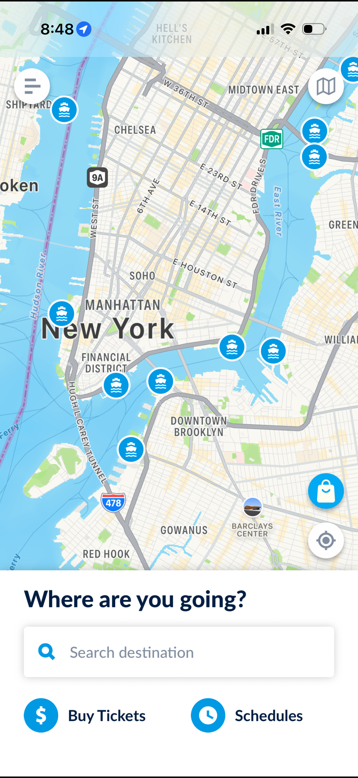
Map-based transit app home screen showing a city map with ferry/route markers and quick controls, prompting “Where are you going? ” with a destination search bar.
2
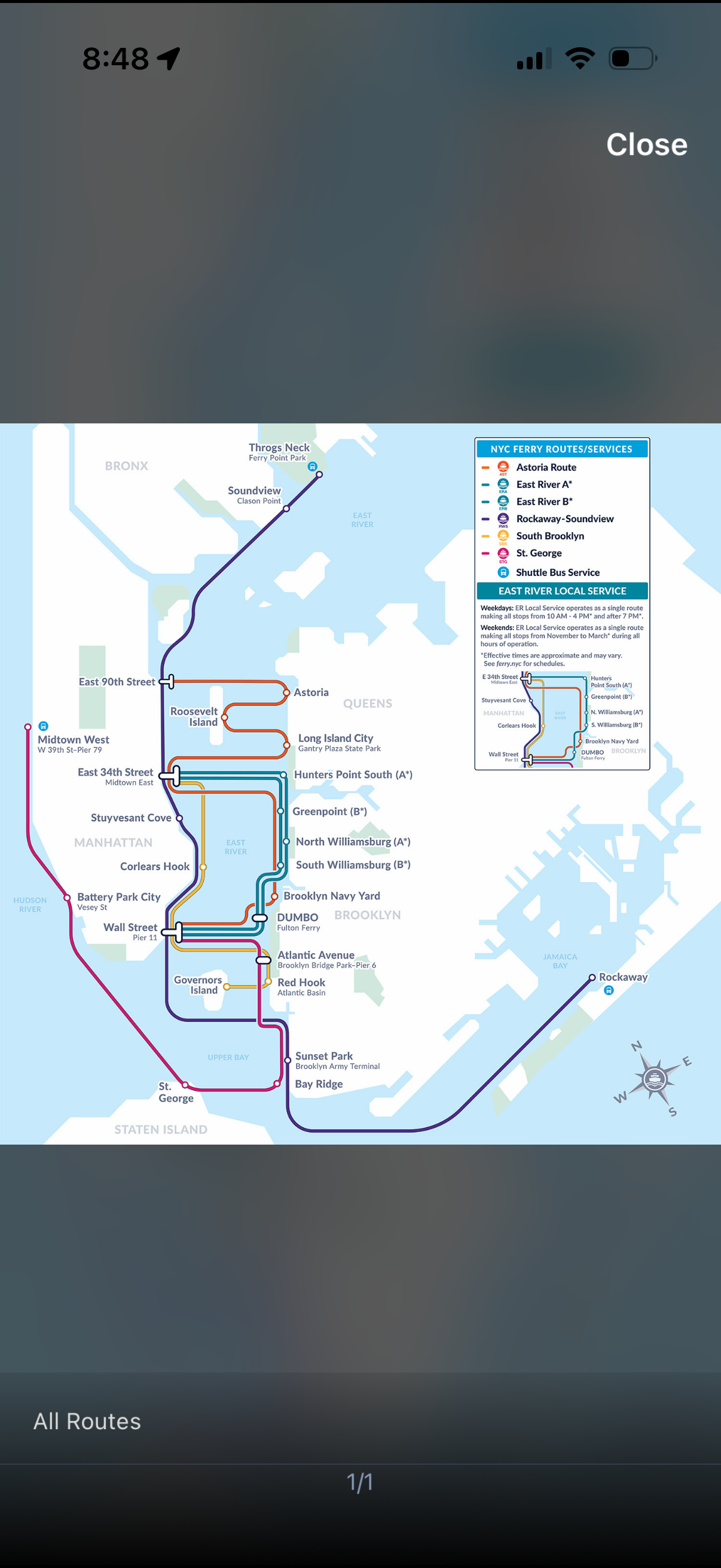
Full-screen transit map showing all NYC ferry routes with color-coded lines and labeled stops across Manhattan, Brooklyn, Queens, the Bronx, Staten Island, and Rockaway. Includes a legend for route/services and local service notes, with controls to close the map and an “All Routes” view indicator.